Page 112 - Greystones Archaeological Historical Society
P. 112

18  CENTURY MAPS
            TH

                     th
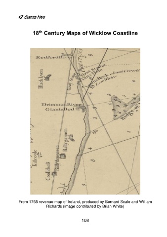
                 18  Century Maps of Wicklow Coastline


          From 1765 revenue map of Ireland, produced by Bernard Scale and William
                        Richards (image contributed by Brian White)


                                          108
   107   108   109   110   111   112   113   114   115   116   117