
Page 75 - GAHS Journal Volume 9
P. 75
GREYSTONES ARCHAEOLOGICAL & HISTORICAL SOCIETY JOURNAL VOLUME 9
the end of the 1500’s the
O’Byrne’s were experiencing
great hardship. The defeat of
the Irish in Kinsale signalled
the beginning of the end for
the Gaelic chieftains’ old way
of life. The final bell tolled for
them with the Flight of the
Earls from Rathmullan,
County Donegal on 14
September 1607.
Boundaries
The division of land in
1450 is shown in Figure 1 and
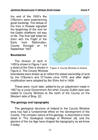
a detail of the Pale is shown in Figure 3: County Wicklow in Ireland
Figure 2. The County Wicklow
boundaries were drawn up to reflect the stated ownership of land
by the O’Byrne’s and O’Tooles circa 1578; and after slight
modification were adopted by the Shire Act in 1606.
These were, much later, added to by an adjustment made in
1957 by a Local Government Act when County Dublin land was
ceded to County Wicklow to the north of the County on the
Western side of Bray. [2]
The geology and topography
The geological structure of Ireland in the County Wicklow
area has had a fundamental effect on the development of the
County. The complex nature of the geology, is described in more
detail in 'The Geological Heritage of Wicklow' [4], and the
glaciers of the Ice Age have shaped the topography as we know
it today.
71